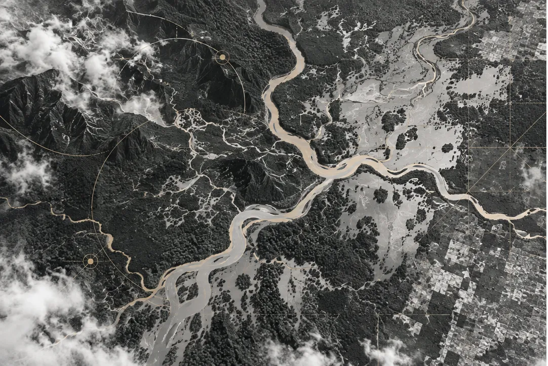
Background & Study Context
In late November 2025, catastrophic flash floods and landslides struck northern Sumatra across Aceh, North Sumatra, and West Sumatra. Public outrage rapidly proliferated on digital platforms, attributing the scale of devastation to upland logging and industrial oil palm expansion.
To evaluate whether public perception aligns with environmental realities, we designed a mixed-methods triangulation study synthesizing satellite environmental observations with computational social sensing across 77 spatial units.
Core Environmental Datasets
Near-real-time GLAD and RADD disturbance alerts capturing recent forest loss dynamics at 30-meter resolution across subdistrict catchments.
Daily precipitation reanalysis providing spatialized rainfall depth and multi-day accumulation anomalies to differentiate trigger events from baseline conditions.
Digital elevation drainage networks defining catchment boundaries and long-term naturalized river discharge baseline attributes (DIS_AV_CMS).
Official disaster casualty, displacement, and structural damage logs precisely bounded to the November 2025 disaster event.
Floods are triggered by meteorology, but their destructive crest heights are fundamentally modulated by upstream catchment integrity.
Empirical Findings & Discourse Alignment
- Statistical Telemetry: Catchment deforestation correlates with increased river discharge (), which in turn modulates downstream flood severity (). Sub-catchments with extensive canopy loss experienced amplified crest heights compared to forested basins receiving comparable rainfall depths.
- Computational Social Sensing: Systematic deduplication of 132,459 public records yielded 23,869 unique tweets and 108,590 unique YouTube comments. Over 80.3% of discourse originated from individual citizen voices rather than institutional media feeds.
- Attribution–Mechanism Asymmetry: While 25.3% of posts explicitly connected the disasters to environmental degradation and 41.3% directed blame toward governance and logging concessions, physical hydrological mechanisms (soil infiltration, retention lag time, riparian buffers) appeared in under 1% of the corpus.
Methodological Takeaways
A critical insight from auditing our geospatial evidence pipeline is the risk of geographic confounding: static river network properties (such as basin drainage area) must be rigorously separated from dynamic forest loss signals to avoid misattributing long-term river size to recent land management changes. Rigorous mixed-methods triangulation bridges this divide.