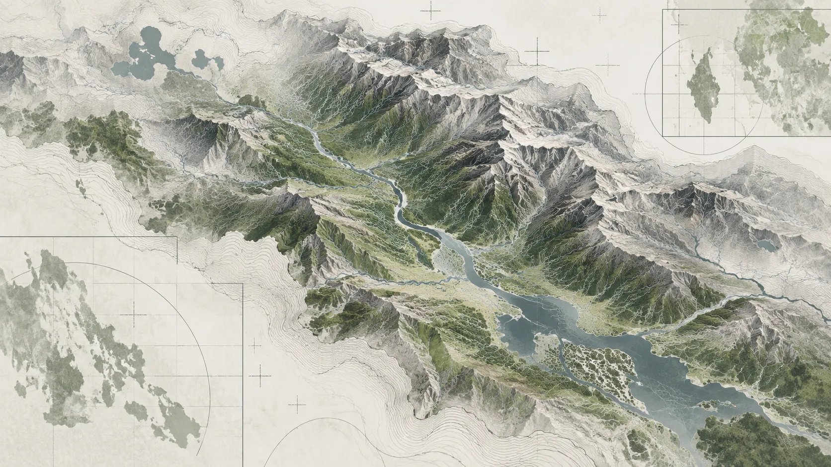
The Satellite-Ground Reality Gap
Synthetic Aperture Radar (SAR) from Sentinel-1 provides invaluable cloud-penetrating imagery during monsoonal storm surges. However, complex tropical landscapes present severe physical limitations: dense oil palm canopies, emergent vegetation, and steep mountainous terrain induce radar shadowing and double-bounce scattering that can mask floodwaters or trigger false positives.
Ground-truthing through physical telemetry stations and field participatory mapping is the only way to convert raw satellite anomalies into calibrated hydrological models.
Practical Field Lessons
Pressure transducers installed in river channels must be secured inside perforated steel stilling wells to dampen high-velocity turbulence during flash flood peaks.
Monsoonal storm conditions can obscure solar arrays for days. Telemetry dataloggers require oversized LiFePO4 battery banks paired with auxiliary non-volatile flash storage.
Surveying physical watermark stains on vernacular stilt architecture with RTK-GPS provides accurate peak crest heights that satellite passes inevitably miss due to orbit revisit intervals.
Cellular cellular IoT modems frequently fail when cellular towers lose grid power during disasters. Local SD-card mirroring and weatherproof field notebooks remain indispensable.
High-resolution remote sensing reaches its full scientific potential only when anchored by empirical physical measurements on the ground.
Field Takeaways for Disaster Researchers
- Respect Local Toponymy: Indigenous place names often encode historical flood hazards (e.g. river bends known locally as recurring spillways) that official subdistrict administrative maps omit.
- Calibrate for Sediment Load: Highland runoff carries intense suspended sediment loads following deforestation; optical turbidity sensors require mechanical wipers or frequent manual recalibration.
- Community Feedback Loops: Ground-truth telemetry data should be made immediately accessible to local disaster response agencies (BPBD) rather than locked in academic silos.